

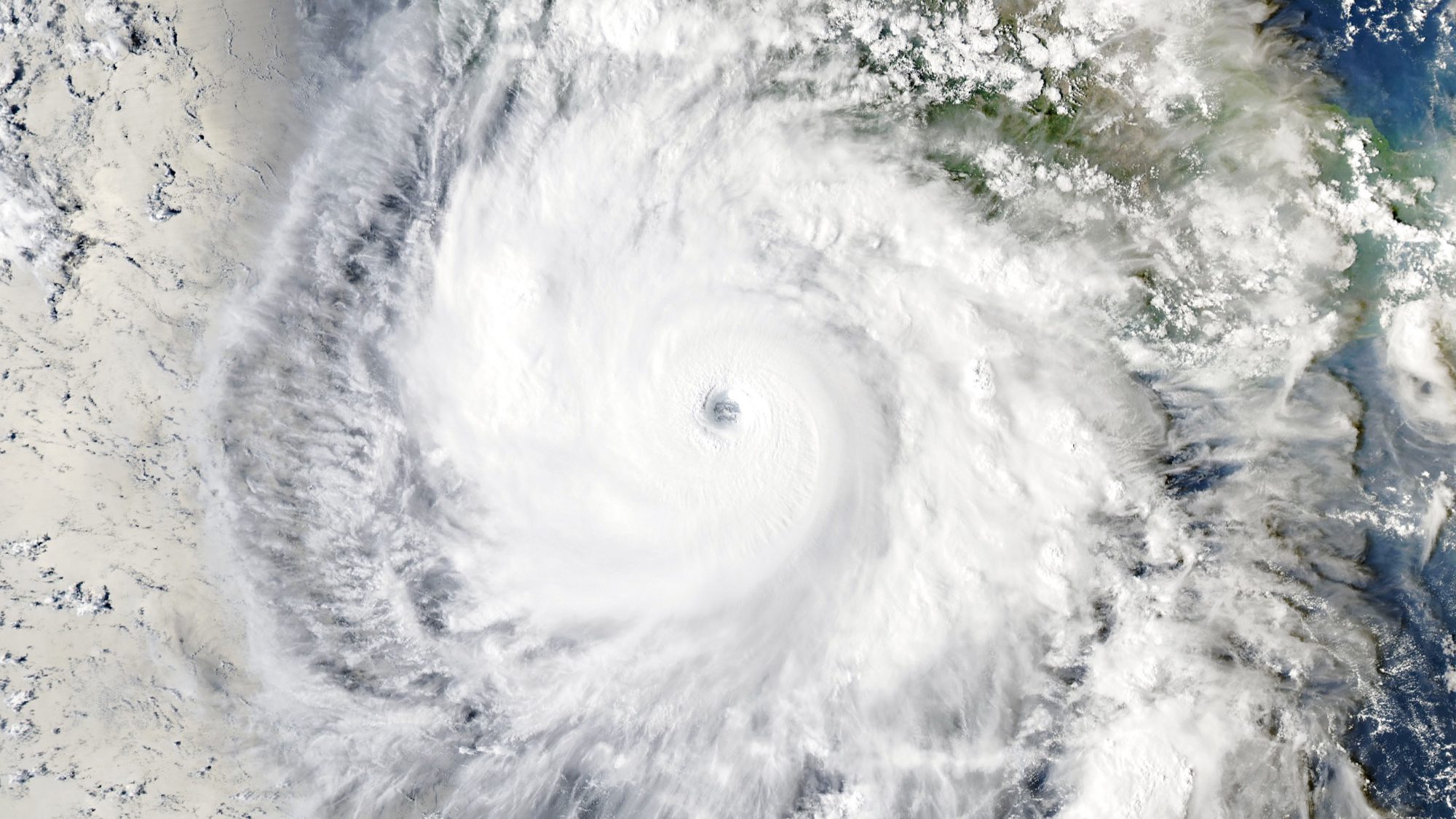
Hurricane Polo reached category 5 within a day as NASA explains the role of warm ocean water
Polo gained 90 knots of wind speed in 24 hours and reached category 5 over the eastern Pacific. NASA links the explosive intensification to very warm water, high humidity, weak wind shear and a deep reservoir of ocean heat that kept fuelling the storm.
Intensification that surprised meteorologists
Hurricane Polo in the eastern Pacific moved from a tropical depression to category 5 with extraordinary speed. According to NASA, maximum sustained winds increased by 90 knots — about 167 km/h — in 24 hours. A NOAA aircraft estimated winds near 285 km/h on 22 September.
On 23 September, the Aqua satellite captured a well-defined eye southwest of Acapulco. By the time of the image, Polo had weakened to category 4 after an eyewall replacement cycle, but it remained an exceptionally powerful system.
Where the storm found so much energy
Sea-surface temperatures along its path reached 32°C, some 2–3°C above normal for 23 September. Weak vertical wind shear did not tear the cyclone apart, the air was moist and unstable, and the warm-water layer extended deep below the surface.
That depth matters: a strong hurricane churns the ocean and usually brings up colder water that can weaken it. In Polo’s case, the reservoir of heat was large enough that the storm’s own mixing did not immediately remove its fuel.
What can and cannot be concluded
NASA cautions against attributing one hurricane solely to El Niño. Rapid intensification has occurred in other climate phases. The warm ocean did create a favourable environment, while seasonal activity in the eastern Pacific was nearly twice normal by 24 September.
Sources and image: NASA Earth Observatory and the NOAA/NHC advisory archive.
If you have found a mistake or a typo in this article, tell us about it
Comments (0)
Log in to leave a comment →
No comments yet. Be the first.