

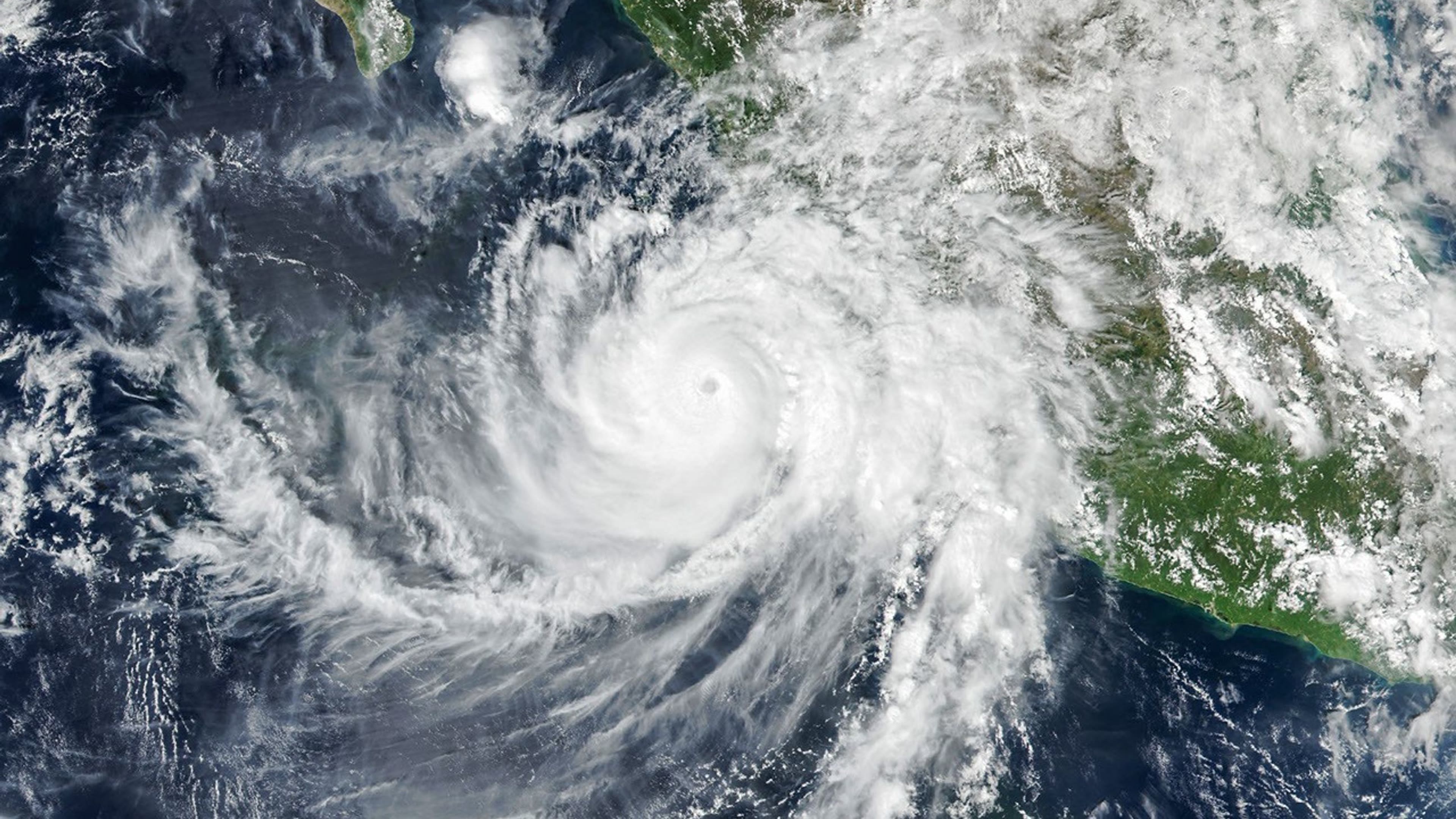
NASA’s new Simon satellite images show a storm reaching into the upper atmosphere
The 14 October explainer examines images taken on 11 October; the pictures are not a current forecast.
NASA Earth Observatory published a new explanation of Hurricane Simon’s satellite images off Mexico’s Pacific coast on 14 October. The pictures themselves were captured on 11 October. A daylight Suomi NPP view shows the storm’s eye, while a NOAA-21 night image reveals ripples high in the atmosphere.
What are the ripples?
Strong updrafts around a hurricane can generate atmospheric gravity waves. NASA explains that faint airglow and favourable lighting made these waves visible. They are neither ocean waves nor a second storm, but a high-altitude effect of the same cyclone.
Read the date on the image
NASA says Simon passed near Mexico’s western coast as a category 4 hurricane on 11 October, bringing strong wind and rain. A four-day-old satellite image cannot tell travellers what conditions are today. Current safety decisions require fresh official weather alerts.
Cover image source: NASA Earth Observatory/Michala Garrison; VIIRS data from NASA and NOAA.
If you have found a mistake or a typo in this article, tell us about it
Comments (0)
Log in to leave a comment →
No comments yet. Be the first.