

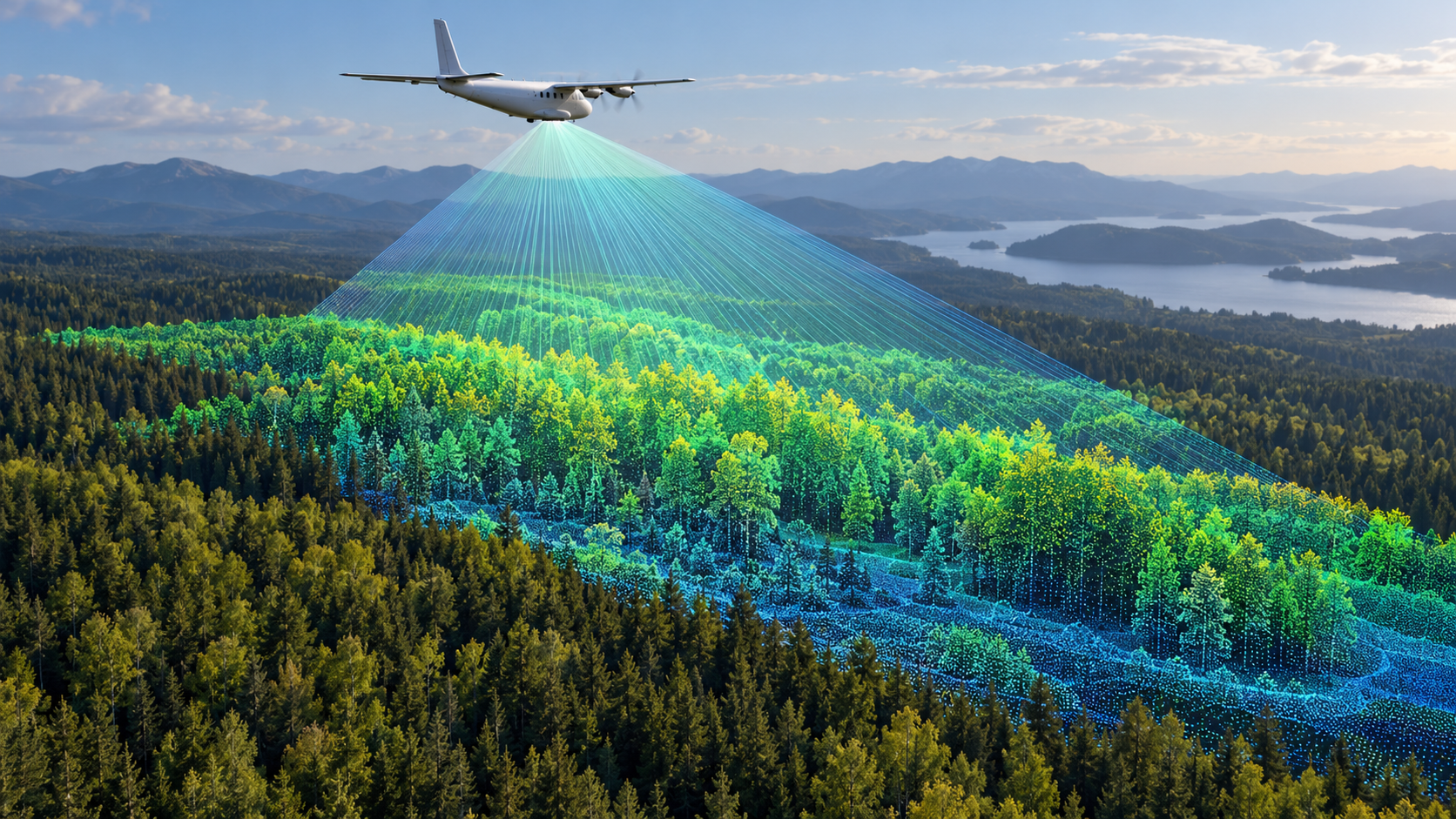
NASA describes CASALS lidar designed for continuous 3D terrain maps
The experimental instrument has flown on an aircraft, but further development is needed before any space mission.
On 21 October, NASA described CASALS, a compact lidar intended to fill the gaps between the narrow measurement tracks of current space-based laser instruments. It steers pulses of different wavelengths at different angles to gather a continuous three-dimensional swath of terrain and vegetation data.
NASA says the experimental system uses 256 wavelengths and a detector with quantum efficiency of about 80%. A prototype flew aboard a B200 King Air in November 2024. At roughly five kilometres altitude, the aircraft test achieved horizontal resolution of 22 centimetres.
Further flights are planned for 2027, alongside work on swath width and onboard processing. CASALS is not yet an operational orbital sensor; a space-ready version remains a development goal. The cover is a conceptual illustration of lidar scanning.
Primary source: https://science.nasa.gov/science-research/science-enabling-technology/technology-highlights/nasas-casals-instrument-bridges-gaps-in-3d-maps-of-earths-surface/. Cover: AI-assisted illustration by Shanraq.
If you have found a mistake or a typo in this article, tell us about it
Comments (0)
Log in to leave a comment →
No comments yet. Be the first.