

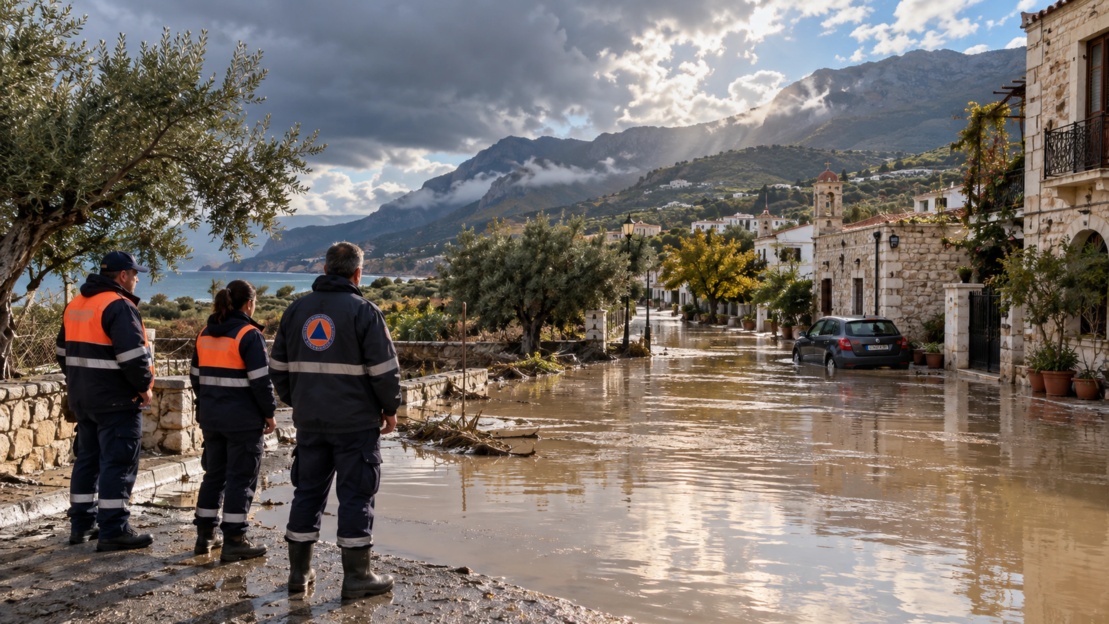
Crete Floods: Why Greece Asked the EU for Emergency Satellite Maps
After severe weather on Crete, Greece requested rapid Copernicus maps of affected areas. The EU accepted activation EMSR 933. We explain what satellite images can show and why they are not yet a final damage assessment.
Greece’s civil-protection ministry said on 4 October that it had activated the EU’s Copernicus Emergency Management Service for areas of Crete affected by severe weather since 1 October. The activation is coded EMSR 933 and has been accepted by the EU.
What will the maps do?
The service is expected to produce maps and data from satellite imagery of affected areas. Greek agencies will use them in emergency response and recovery. Such images can show the extent of an event where ground inspection is difficult and help officials decide where to send resources first.
The ministry’s announcement does not give a confirmed final number of people affected or a total damage cost. Ordering maps is a step toward assessing the situation, not a completed assessment. A satellite image captures conditions at the moment it is taken; local responders must compare it with evidence on the ground.
For residents and visitors, the practical distinction matters: maps help responders, but travel choices should follow current local warnings. Water levels and road access can change faster than a map is produced.
Source: Greek Ministry of Climate Crisis and Civil Protection.
If you have found a mistake or a typo in this article, tell us about it
Comments (0)
Log in to leave a comment →
No comments yet. Be the first.