

NASA explains how PACE tracks autumn vegetation colours
Maps published on 26 October use late-September and early-October observations, and red areas do not always represent autumn forests.
NASA Earth Observatory published an explanation of satellite observations of autumn vegetation colours on 26 October. The feature focuses on the hyperspectral Ocean Color Instrument aboard PACE, which observes land as well as the ocean.
The maps compare 29 September–4 October with 5–11 October 2026. They represent the balance between red and green components of the observed signal. Those observation periods differ from the new article’s publication date: these are not images captured on 26 October.
NASA describes especially high initial values in northern and eastern Russia, northern Alaska and northern Canada. Redder signals subsequently spread farther south, including parts of the US Midwest and Mid-Atlantic.
The interpretation has limits. Higher values can reflect ageing crops or post-harvest vegetation as well as autumn trees, while clouds leave gaps in coverage. The maps should therefore not be read as precise travel instructions or proof of forest death. The new feature explains a method of observing seasonal change rather than announcing a previously unknown phenomenon.
Primary source: https://science.nasa.gov/earth/earth-observatory/hunting-red-leaves-with-satellites/.
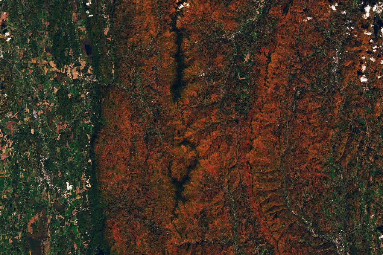
Cover: Vermont photographed by Landsat 9 on 3 October 2026, NASA Earth Observatory/Lauren Dauphin, using USGS data. This is a regional image, not a global PACE map. NASA media guidelines.
If you have found a mistake or a typo in this article, tell us about it
Comments (0)
Log in to leave a comment →
No comments yet. Be the first.